Loading
Irrigation
Land and Water Use Mapping
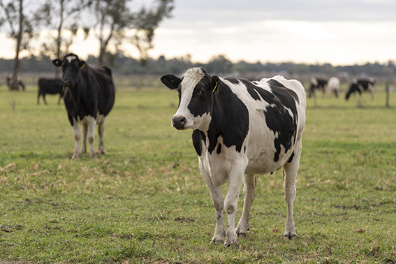
The Regional Irrigated Land and Water Use Mapping (RILWUM) in the Goulburn Murray Irrigation District (GMID) project collects information on irrigated land and water use, as a tool to support decision makers.
Click on the Resources link to the left to discover information that can help you get ahead.
The GMID Irrigation Land and Water Use Dashboard is a publicly accessible and interactive tool to be able to explore the Fact Sheet data further.
The dashboard enables the public to view land use at varying scales and by industry types dating back to the 2015/16 irrigation season.
It will be regularly updated as new data is collected throughout the program.
Back to project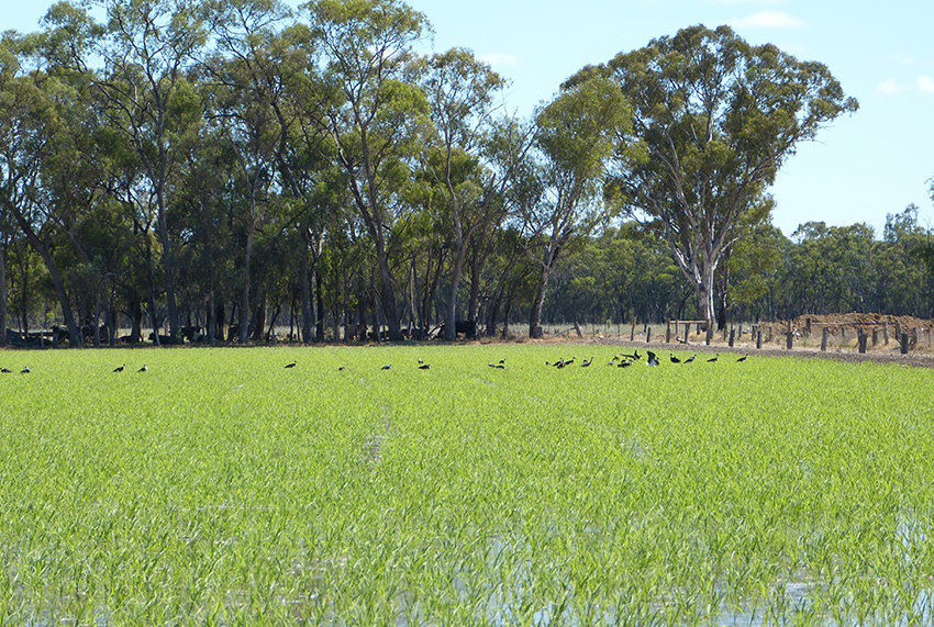
Discover the resources that help you make an informed decision.
- 2021-22 Goulburn Murray Irrigation District (GMID) Land and Water Use Mapping Fact Sheets
- Land Use Mapping Summary
- Land Use Mapping Snapshot
- Farm Irrigation Survey 19-20 Land and Water Ownership
- Farm Irrigation Survey 19-20 Irrigation Upgrades
- Farm Irrigation Survey 19-20 Carryover
- Land Use Mapping Farm Irrigation Survey 19-20 Technical Report
- Land Use Mapping Spatial Technical Report 19-20
- Farm Irrigation Survey 19-20 Summary
- GMID water availability update June 2018
- Final Land Use Mapping Snapshot 2018-19
- Understanding Water Availability 2016
- Changing Land Use in GMID 2010-2016
- GBC Socio-Economic Profile 2006
- Farm Irrigation Infographic Flyer
- Water Availability in the GMID Community Survey
- Irrigation Farm Survey Report 04-05
- Dairy Evaluation 2017
- Land and Water Use Mapping Executive Summary
- Land and Water Use Mapping Technical Report 2017