Loading
iMap

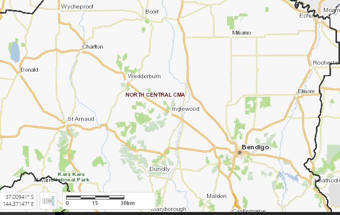
iMap is an interactive mapping system, which displays key regional spatial information data which can be used for strategic natural resource management planning at a property, community group and regional scale.
The user is able to produce and download a map which contains the spatial data of interest, including the latest aerial imagery.
