Loading
Filling the flood gaps
21 Aug 2019
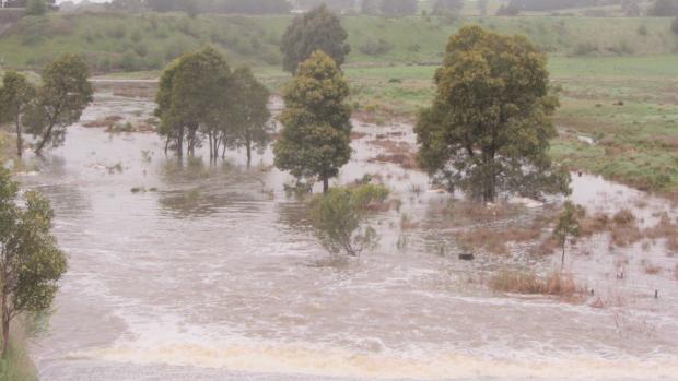
The North Central Catchment Management Authority (CMA) is working with eight local councils to understand flood risk for 21 small towns across the region.
The North Central Regional Floodplain Management Strategy 2018-2028 identified the towns as either never having a flood study before, having no flood-related planning controls or flood intelligence, or having planning overlays that did not reflect the actual topography.
“Planning advice in these towns is based on little, if any, available anecdotal evidence. This means that new development may exacerbate the impacts of flooding,” North Central CMA Acting Strategy and Partnerships Executive Manager James Shaddick said.
“This means there is a limited ability to ensure future development occurs in accordance with the flood risk.
“On top of that, the lack of flood intelligence can hinder the response of communities and emergency services to floods in these towns.
“There is uncertainty as to the potential risk to each community and the level of response that may be required.”
Given the differences in topography and future planning for these towns, the North Central CMA has decided to apply a rapid assessment methodology to each one to see where further detailed assessments may be needed based on identified flood risk.
“This is a proactive response from the CMA and is an innovative way to tackle so many different towns at once,” Mr Shaddick said.
“The information we get will help councils work out whether further detailed flood studies are needed and where the greatest risks are.
“It will also help councils with planning and land-use decisions, and give them updated modern maps, which will help emergency services focus their resources and enable the community to prepare appropriately, reducing the demand on government assistance.”
The towns involved in the Rapid Flood Risk Assessments are:
City of Greater Bendigo municipality: Lockwood, Mandurang and Redesdale.
Central Goldfields Shire: Moliagul, Bet Bet, Talbot, Bealiba, Timor-Bowenvale.
Hepburn Shire: Coomoora, Daylesford, Hepburn Springs, Newlyn North, Smeaton.
Loddon Shire: Korong Vale.
Macedon Ranges Shire: Malmsbury, Lauriston, Tylden.
Mitchell Shire: Tooborac.
Mount Alexander Shire: Guildford, Metcalfe.
Northern Grampians Shire: Marnoo.
Community members with flood information or photos in these towns are encouraged to contact North Central CMA Project Manager Nathan Treloar on (03) 5440 1878 to share their experiences.
This project is funded through the Victorian Government’s Natural Disaster Resilience Grant Scheme and is due to be completed by February 2020.
The flood risk assessments are being delivered as part of the Victorian Government’s Victorian Floodplain Management Strategy, which aims to better prepare Victoria for severe flooding by improving the evaluation and communication of flood risks. The Government has allocated $23 million to implement the strategy over four years.